Marble Canyon Geological Site
The Wave: Arizona's Swirling Navajo Sandstone Ravine
Marble Canyon, Arizona, United States
By the Wicked Cool Places editors · Published · Updated
Why it’s cool
This rare geological site features Navajo Sandstone that has calcified into dizzying, fluid-like ribbons. With access limited to just 64 people daily, it offers a nearly solitary experience within a 190-million-year-old desert dreamscape.
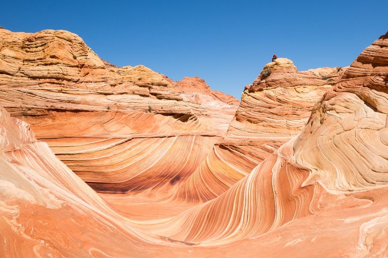
Deep within the Coyote Buttes ravine, a landscape exists that feels more like a fluid dream than solid ground. Known as the Wave, this site sits 5,225 feet above sea level, offering a visual experience so disorienting that many travelers describe it as a waking hallucination.
The terrain is defined by Navajo Sandstone that has spent 190 million years transforming from shifting dunes into rigid, calcified stone.
Why It Stands Out
The visual impact of the Wave is defined by its spice-toned layering and ridges that appear to flow like liquid. This unique fluctuating stratum was carved over eons by the patient forces of wind and rain erosion.
For most of modern history, this site remained a secret known only to locals. It wasn't until the 1990s that the area gained international fame, largely due to its appearance in German travel media and the 1996 film Faszination Natur.
Even today, the site retains a distinct international draw, though its reputation as a photographer's delight has made it a bucket-list destination for hikers worldwide. The experience of walking through the ravine is often described as vertigo-inducing.
Because the stone has hardened both vertically and horizontally, the ground seems to ripple beneath your feet. Photographers often aim for a mid-day arrival to capture the stone without any shadows, though the high domes create a more dramatic, high-contrast scene during the early morning or late afternoon.
Despite its solid appearance, the calcified dunes are incredibly fragile, requiring strict management to preserve the delicate ridges from the impact of foot traffic.
Before You Go
Access is strictly controlled, with only 64 visitors permitted each day. You must secure a permit through a lottery system, either an online version four months in advance or a daily lottery held two days before your intended visit.
There is a non-refundable $9 application fee for the lottery. If you are successful, the permit itself costs $7 for each person or dog.
The journey begins at the Wire Pass Trailhead. From there, you will embark on a strenuous 6.4-mile round-trip hike.
After crossing House Rock Valley Road, you will navigate a river wash for about half a mile before reaching the permitted zone. Because the trail is not always obvious, hikers must rely on provided maps and occasional signage.
A mandatory safety meeting is required the day before your hike to ensure you are prepared for the desert conditions.
Questions worth answering
How hard is it to actually get inside?
The lottery system is tight, allowing only 64 people in every day. You can try your luck online four months out or enter the daily drawing two days before you plan to hike.
What's the best time to take photos?
Mid-day is the standard for those who want zero shadows on the sandstone. If you prefer high-contrast shots, the high domes look best in the early morning or late afternoon.
Is the hike to the ravine difficult?
It's a strenuous 6.4-mile round trip starting at the Wire Pass Trailhead. You'll spend the first half-mile walking through a river wash after you cross House Rock Valley Road.
Can I bring my pet along for the hike?
You're welcome to bring your dog if you pay the $7 recreation fee for them. Just like human visitors, every pet needs their own permit to enter the Coyote Buttes ravine.
More in Southwest
All Southwest places →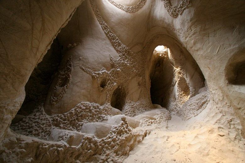
Ra Paulette's Hand-Carved Caves
New Mexico
For over a quarter-century, a lone artist has manually sculpted more than a dozen sandstone caves into elaborate, light-filled temples designed to inspire spiritual reflection and quiet discovery.
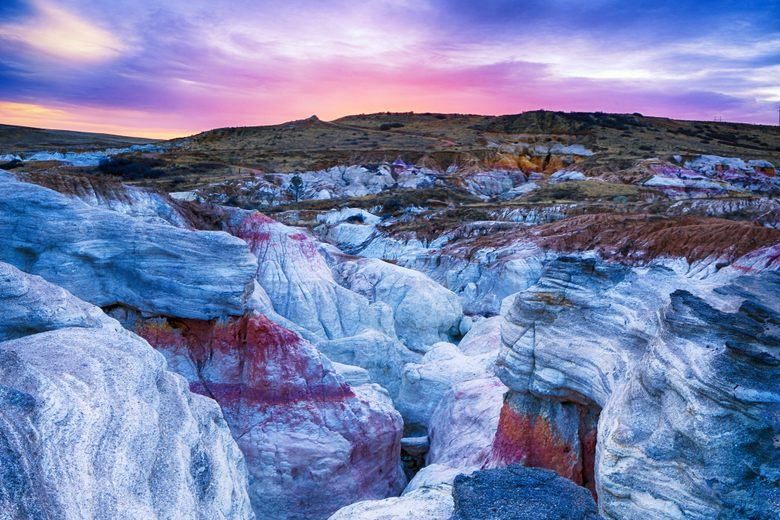
Paint Mines Interpretive Park
Calhan, Colorado
These vibrant sandstone hoodoos served as a natural pigment source for 9,000 years, providing ancient peoples with the colorful clays needed for pottery and ceremonial paint.
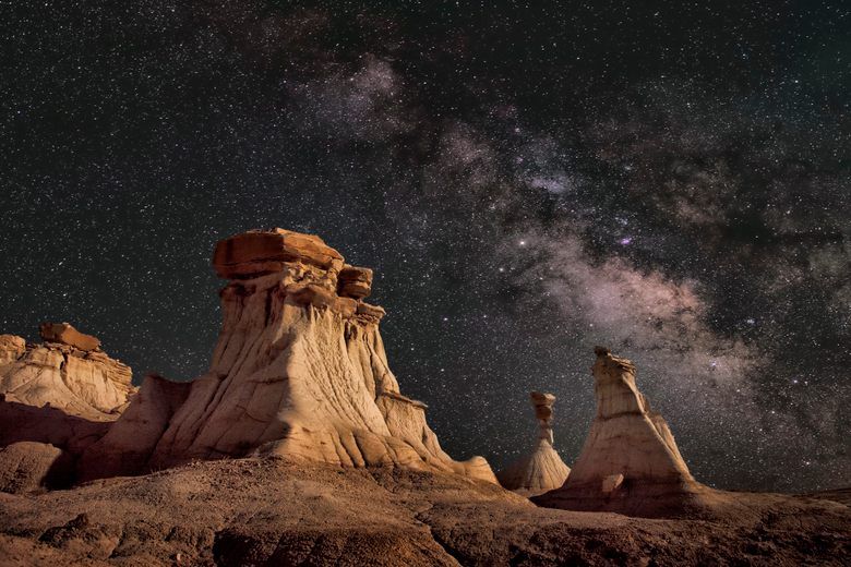
Bisti Badlands
Farmington, New Mexico
This remote New Mexico wilderness features a surreal collection of top-heavy hoodoos and undulating sandstone shapes that look more like an alien planet than the American Southwest.